Rhine-Main Ensemble
There are no clear geographic boundaries to the Rhine-Main region. Its most characteristic features are the riverscapes of the eponymous Rhine and Main rivers, the Wetterau lowlands and the highlands of the western Vogelsberg, the Taunus and the Spessart ranges. The Rheingau on the southern slopes of the Taunus along the right bank of the Rhine is an area of particularly mild climate.
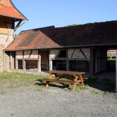
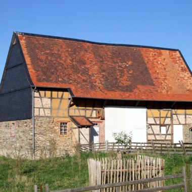
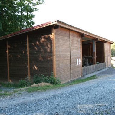
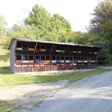
Unlike many other metropolitan areas, the Rhine-Main region is home to a number of urban centres besides Frankfurt. There are further cities and large towns, each of them economically and culturally significant in their own way. The historically grown network of trade towns and capitals of minor states, which developed over centuries, was significantly altered due to the effects of industrialisation from the 19th century onwards. In the past 50 years, the expansion of the core cities has led to the substantial growth of formerly small towns and villages. State subsidies for owner-occupiers, many new detached and terraced houses, new mobility needs, urban sprawl, a variety of divergent user interests – all of these are developments we hope to illustrate in our Rhine-Main Ensemble. For example, a typical 1970s outdoor exercise trail, a so-called Trimm-Dich-Pfad is being reconstructed here.


