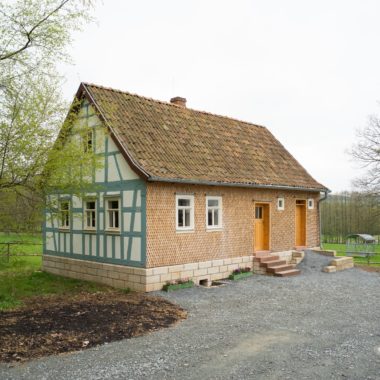
Eastern Hesse Ensemble
This ensemble comprises the eastern part of the Vogelsberg, the Hesse Rhön, the Hesse Landrücken and the Fuldaer Land regions as defining landscapes. Here, at an elevation of 950 metres, the Wasserkuppe is the highest mountain of Hesse’s uplands. Due to its unfertile soil, arable farming in Eastern Hesse has always been unprofitable and stock-breeding has been the natural livelihood of the predominantly farming communities.
The Fuldaer Land region is in a way a core region of Eastern Hesse. Since the Middle Ages, the Catholic Bishopric of Fulda directly influenced and shaped the practices and forms of settlements. The reason for this were, apart from its aim to fortify its territories against the Bishopric of Würzburg, material constraints resulting from the regional practice of impartible inheritance. There was an interest to retain those parts of the population who were not entitled to inherit from considering emigration due to their poor economic situation.
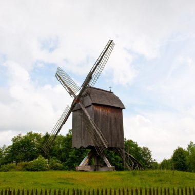
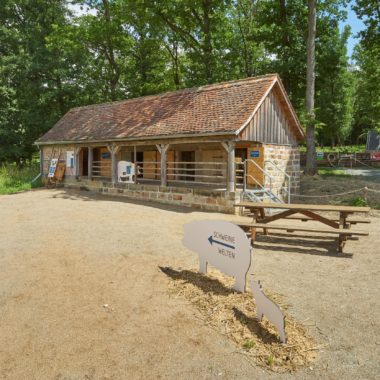
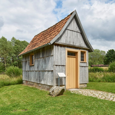
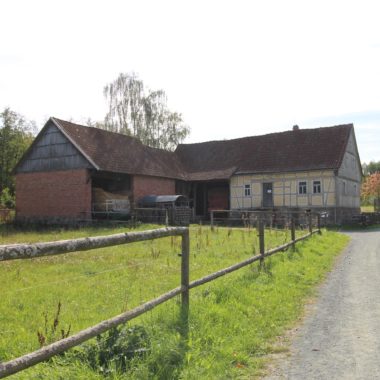
The strongly tradition-bound social structures in the settlement of the area have survived to this day. The majority of the population continues to be Catholic which is reflected in the multitude of preserved wayside shrines and crosses dotting the landscape. The Open Air Museum has a number of replicas of these devotional cultural relics. In the museum, the typical traditional or historic settlement patterns of this uplands region, with their widely spread out isolated farms or hamlets (a loose consolidation of a few farms), are portrayed. To this day, the city of Fulda as the religious and economic centre of Eastern Hesse stands in marked contrast to the distinctly agrarian peripheral regions of the upland.


